By analyzing different types of data in real time, municipal authorities can detect usage patterns, adjust dynamic fares to balance demand, reorganize reserved spaces for specific uses, and plan multimodal transport connections. To do this, the right technology must be chosen and continuous analysis must be performed.
The importance of real time parking data
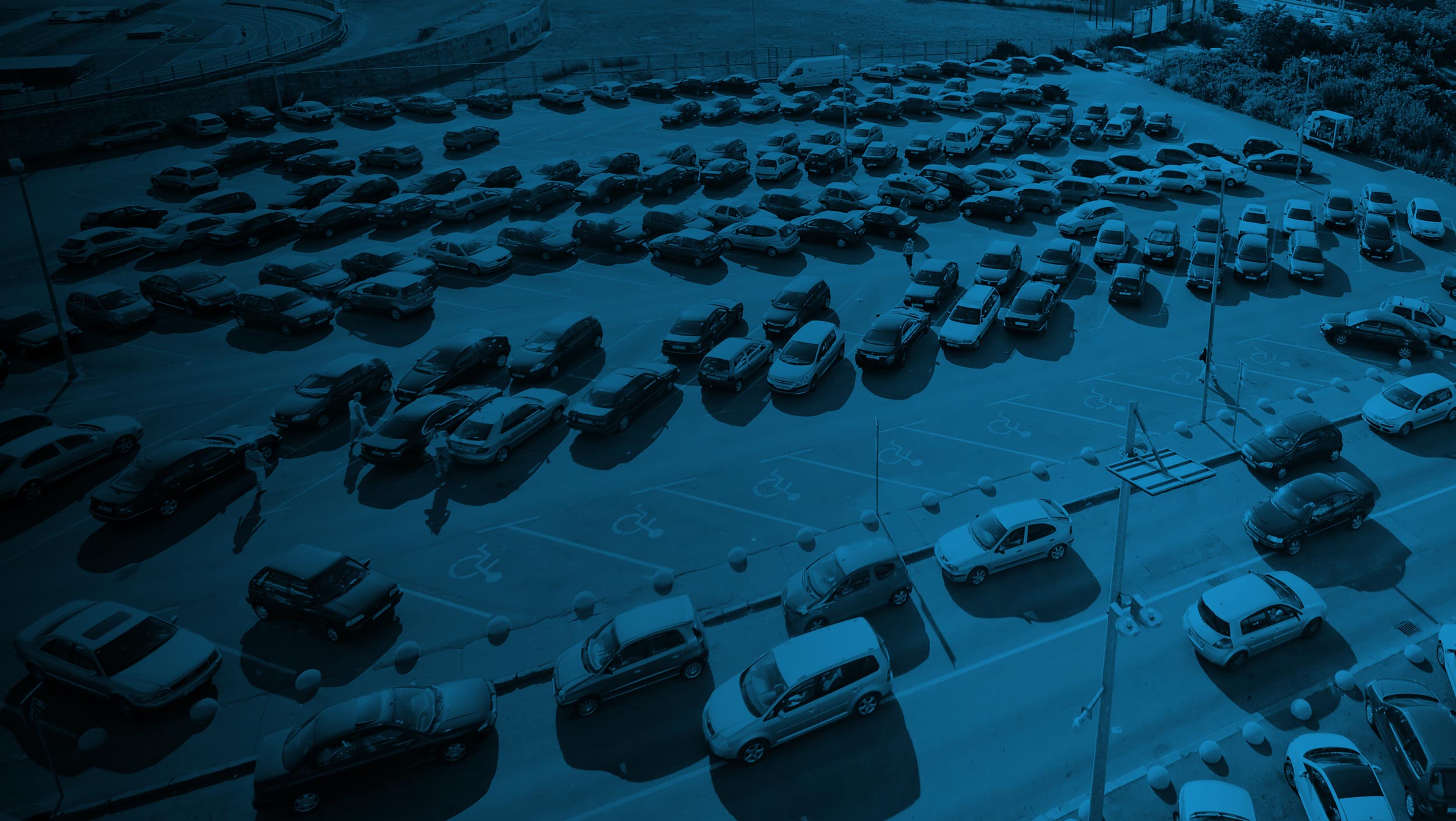
Looking for parking in busy areas is both stressful for drivers and generates unnecessary traffic. In fact, studies indicate that up to 30% of traffic in city centers around the world is caused by people looking for parking, and this is where real-time data comes in handy. By showing drivers where there are free spaces near their location, they spend less time driving on the streets, while saving fuel and reducing emissions of polluting gases.
On the other hand, authorities can manage public space more efficiently because they have historical occupancy data with which to detect patterns. Taking into account actual demand, they can relocate or make new parking spaces available, reserve them for certain purposes, establish policies that redirect traffic to other areas, etc. And not only can they make decisions in this regard, but they can also establish better connections with public transport or other services.
Guided to the parking lot
Parking data and how to collect it
To improve mobility in cities, municipalities can analyze different data on parking: occupancy, demand, historical and external.
Occupancy data
Occupancy data indicates whether a parking space is free or occupied. They are obtained in real time through intelligent devices, such as sensors installed in each one or cameras with artificial vision in specific points that are capable of analyzing larger areas.
2. Demand data
Demand data shows where and when there is the greatest need for parking spaces: rush hour, type of vehicle, average parking duration, etc. By analyzing these data on an ongoing basis, municipalities can optimize their management.
3. Historical data
Historical data allows the detection of long-term patterns for optimal urban planning: which days and times are most in demand in each neighborhood, how occupancy changes after dynamic pricing, how local events affect vacancy availability, etc.
4. External data
The data collected can be combined with other sources for a more complete analysis, for example, rainfall may influence the way parking is sought. There may also be peaks in demand in certain areas due to events or accessibility to public transport.
Real-time parking data applications
Real-time parking data helps municipal authorities to implement concrete solutions that improve urban mobility. These include smart guidance, dynamic pricing, multimodal transportation planning and traffic reduction policies.
Intelligent guidance
Thanks to applications and variable signage panels, drivers can easily reach available spaces, considerably reducing the time they spend blindly searching for them. They can see them on their cell phone indicated on a map or, while driving, at strategically visible points at the entrances to the street or venue in question.
2. Dynamic rates
Thanks to real-time occupancy data, variable parking rates can be applied: higher in the most demanded areas to encourage vehicle turnover, and none or lower in those with low demand to attract drivers and balance occupancy. It is very useful to promote public transport or alternative mobility.
Multimodal transportation
Data can also be combined with information on public transport and bicycles to create multimodal connection points, where citizens can leave their private vehicles and travel to other parts of the city using other forms of mobility. Taking advantage of public transport stops helps to plan routes more reliably.
4. Traffic policies
Knowing in real time how many spaces are occupied allows authorities to activate low-emission zones when traffic is really heavy. They can also adjust loading and unloading schedules for both trucks and delivery drivers on motorcycles or vans according to the availability of parking spaces. Quick and automatic adjustments can be made at any time.
Strategies for implementing real-time parking data
1. Choosing the right technology
Each parking area, whatever the type, has its own needs and it is essential to select the most suitable technologies to maximize the profitability of the system. From how many sensors and/or cameras should be installed to cover the desired area to what type is most suitable. For example, sometimes it is better to have surface sensors and other times buried in the pavement.
2. Informing citizens
When implementing smart parking solutions, it is important to run information campaigns for citizens, both to show the benefits of the new measures and to raise awareness of sustainable mobility. Digital guides or brochures can be designed to show how to use the applications, as well as communicating possible changes through the municipality’s social networks.
3. Ongoing analysis
Parking conditions and the needs of the population are constantly changing, so a continuous analysis of the results will make it easier to quickly adjust strategies and maintain smooth urban mobility. As mentioned above, special events, changes in traffic regulations and technological improvements have to be considered. In this way, the decisions made will take into account the experience of citizens.